
Río San Juan a El Castillo
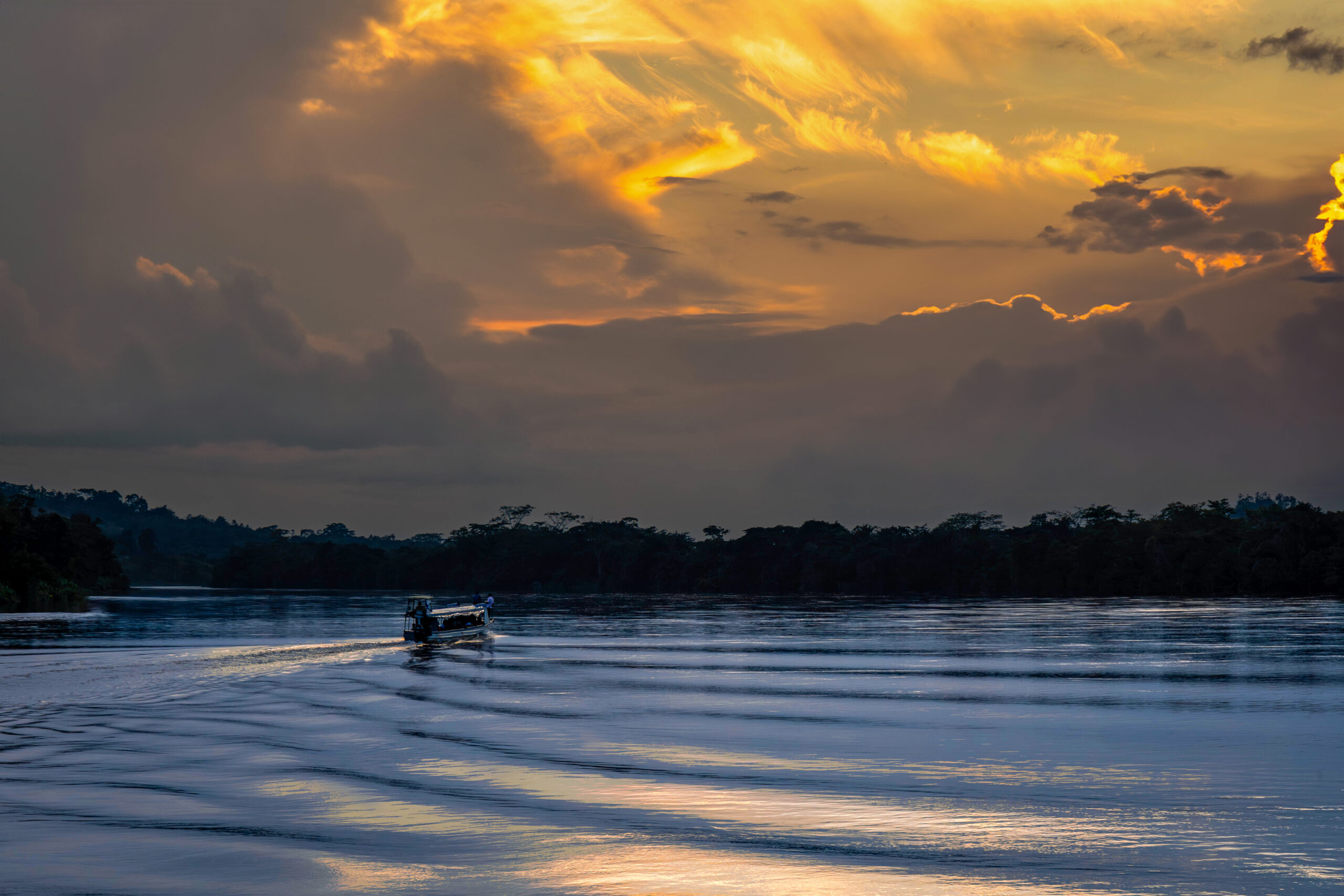
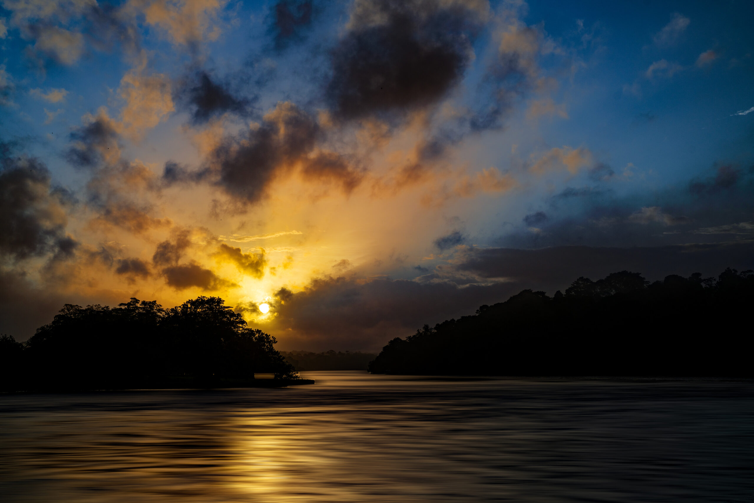
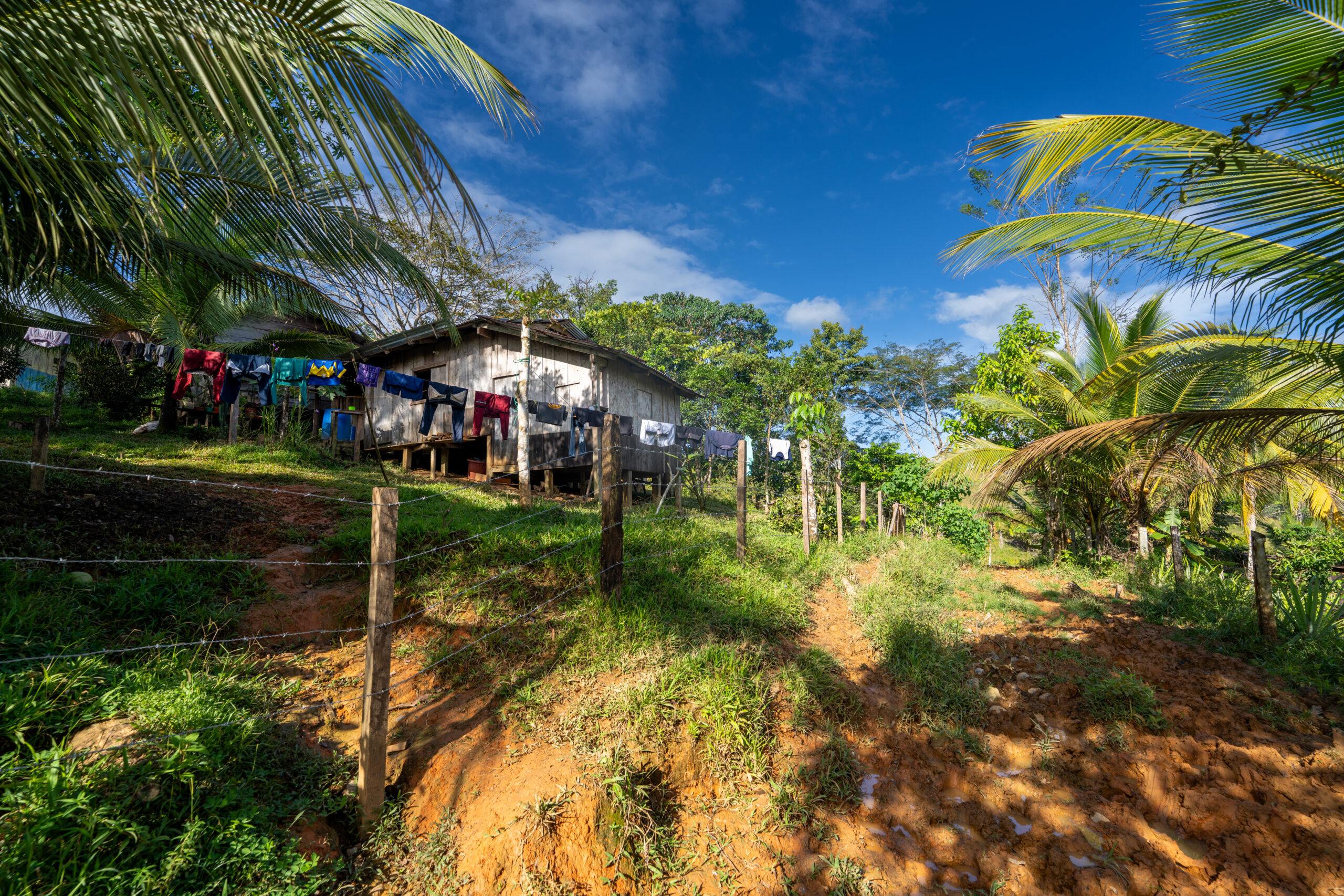
The Río San Juan has a special charm. It flows from Lake Nicaragua and gradually sinks deeper and deeper into the jungle along the border with Costa Rica. In a narrow boat, you are crowded with local Indians, goods for sale and sometimes even domestic animals. You pass small villages and lonely wooden houses for which the river is the only connection to the outside world.
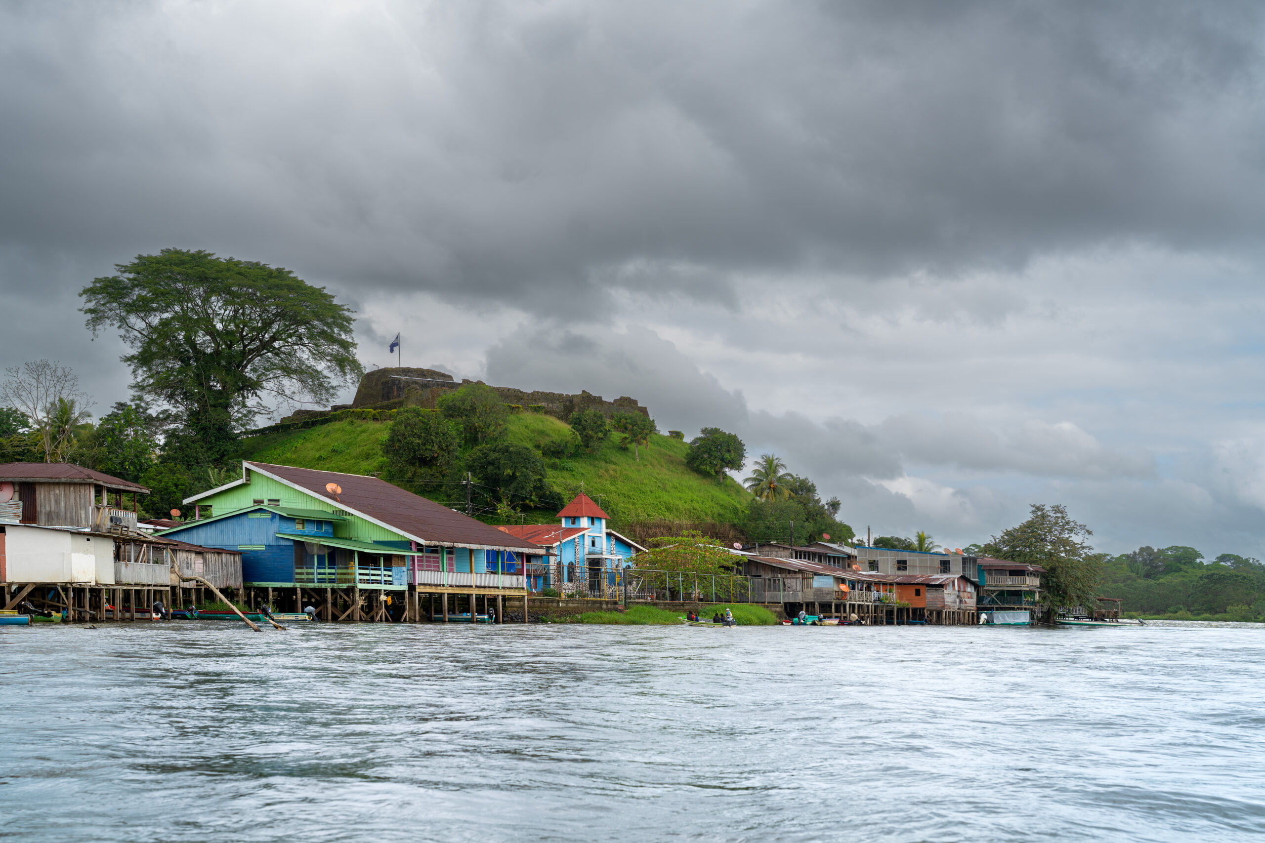
Before El Castillo, the calm sailing is replaced by the Raudal del Diablo rapids. Directly above them rises an old Spanish fort and below it a small town of colorful wooden houses without a single road. El Castillo is the last outcrop before the river disappears into the rainforest and continues to the Caribbean. The Río San Juan is also the only access road to this part of the Indio Maíz reserve, one of the largest rainforests in Central America.
How to get there?
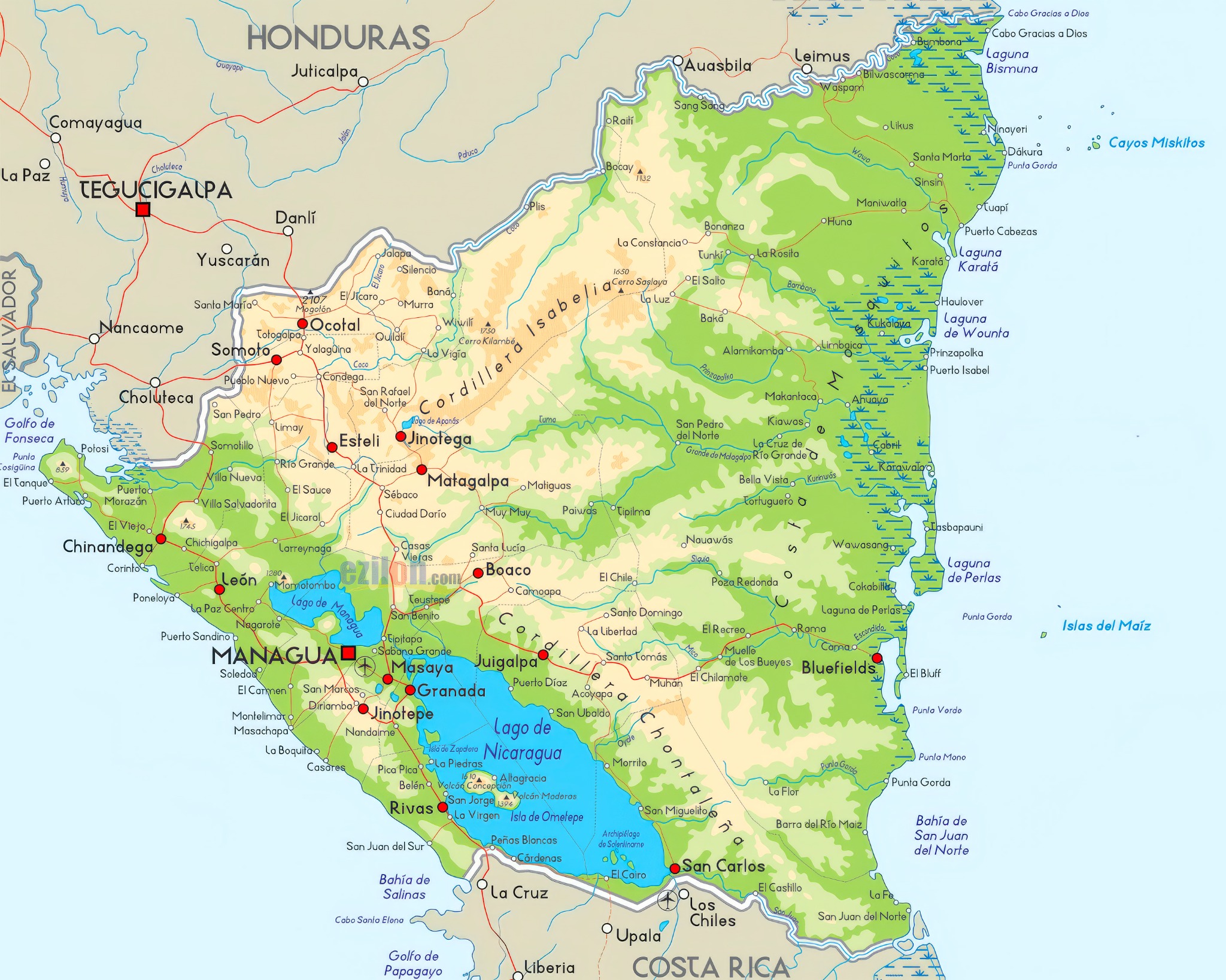
There are direct buses to San Carlos on the shores of Lake Nicaragua from the Mercado Mayoreo terminal in Managua, taking approximately seven to eight hours. From San Carlos, public boats continue along the Río San Juan to El Castillo and other settlements further downstream. The journey takes several hours, depending on the type of boat and the number of stops. El Castillo is not connected to the road network, so it is a good idea to check departure times directly at the port in San Carlos
↑ Back to map
Indio Maíz & Canta Gallo
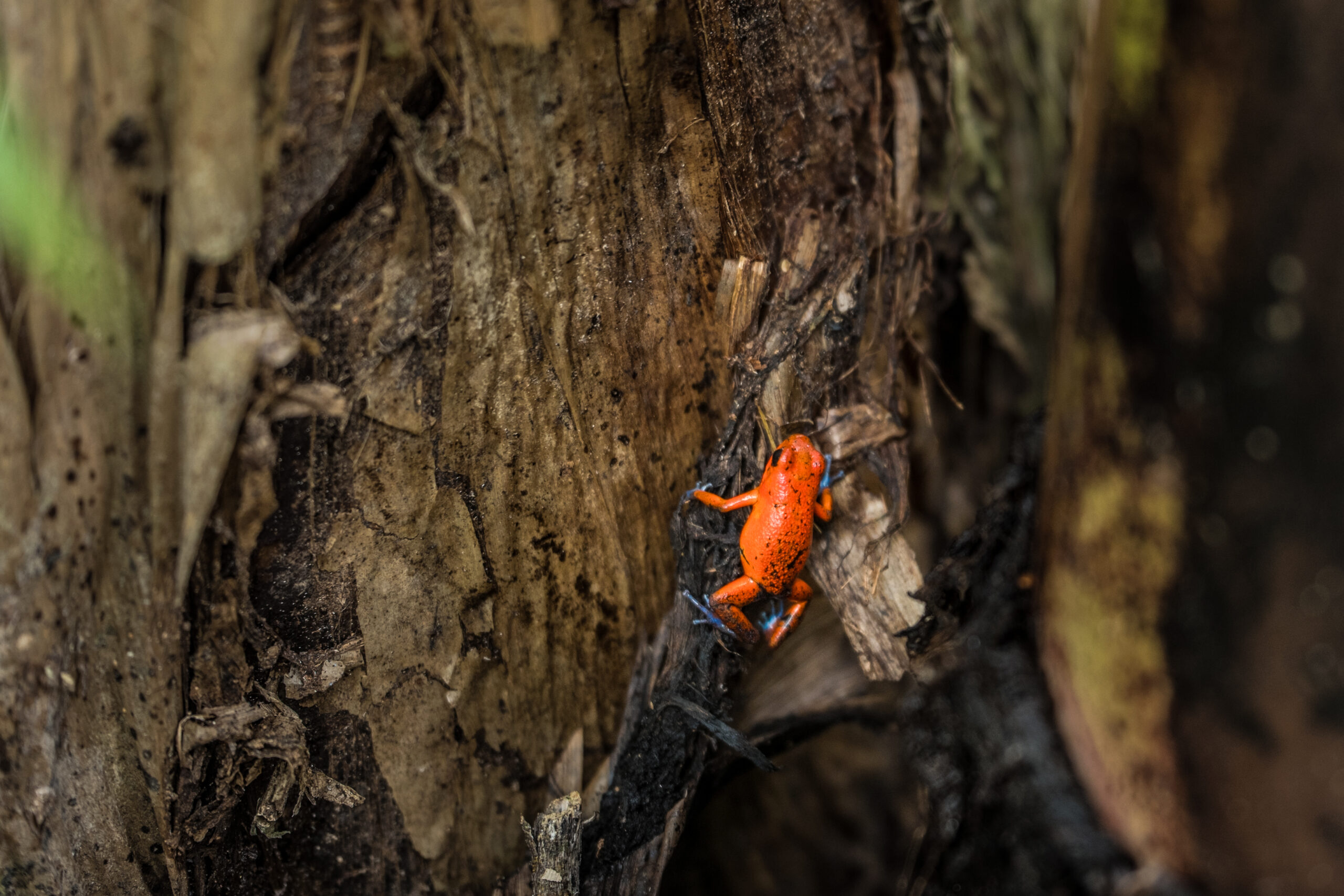
The Indio Maíz Reserve protects one of the largest and best-preserved lowland rainforests in Central America. One of the places you can enter it is the small community of Bartola on the river of the same name. The boat gradually slowed down, the surrounding vegetation thickened, and monkeys, toucans, and other forest dwellers sounded overhead. From there, we continued on foot along narrow paths into a green world that seemed to have no end.
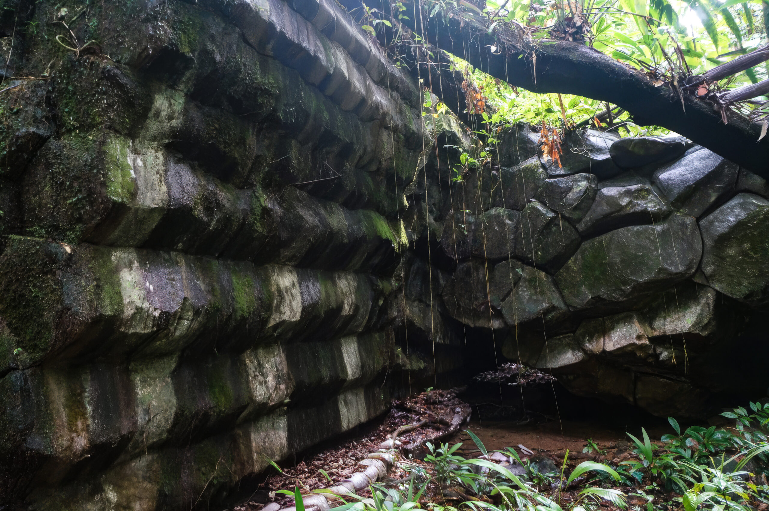
Even deeper into the jungle lies Canta Gallo, a small community of indigenous Rama people and one of the most mysterious places in Nicaragua. Hidden among the trees are massive stone structures resembling stepped pyramids. Who built them, when they were built, and what they were used for, no one knows for sure. I am not a spiritual person, but here I myself did not know what to think. I just stood in silence, looking around me, and soaking up the atmosphere of a place that has kept its secrets to itself for now.
How to get there?
To reach the Indio Maíz reserve, you can continue from El Castillo with a guide by boat to the Bartola River. After Canta Gallo, you must sail to San Juan del Norte, hire a local guide and continue with him by boat and on foot deep into the jungle.
↑ Back to map
Volcano Telica
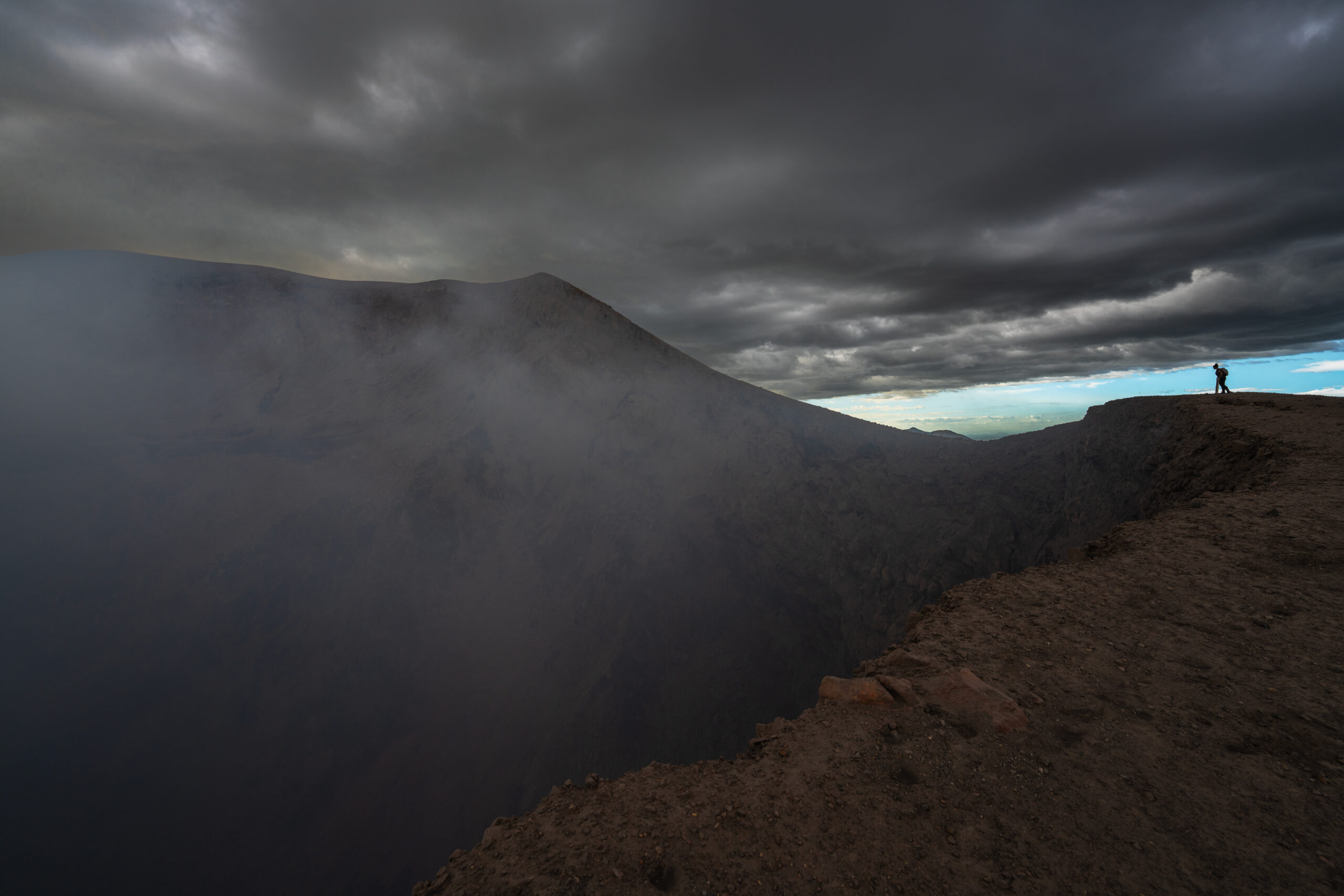
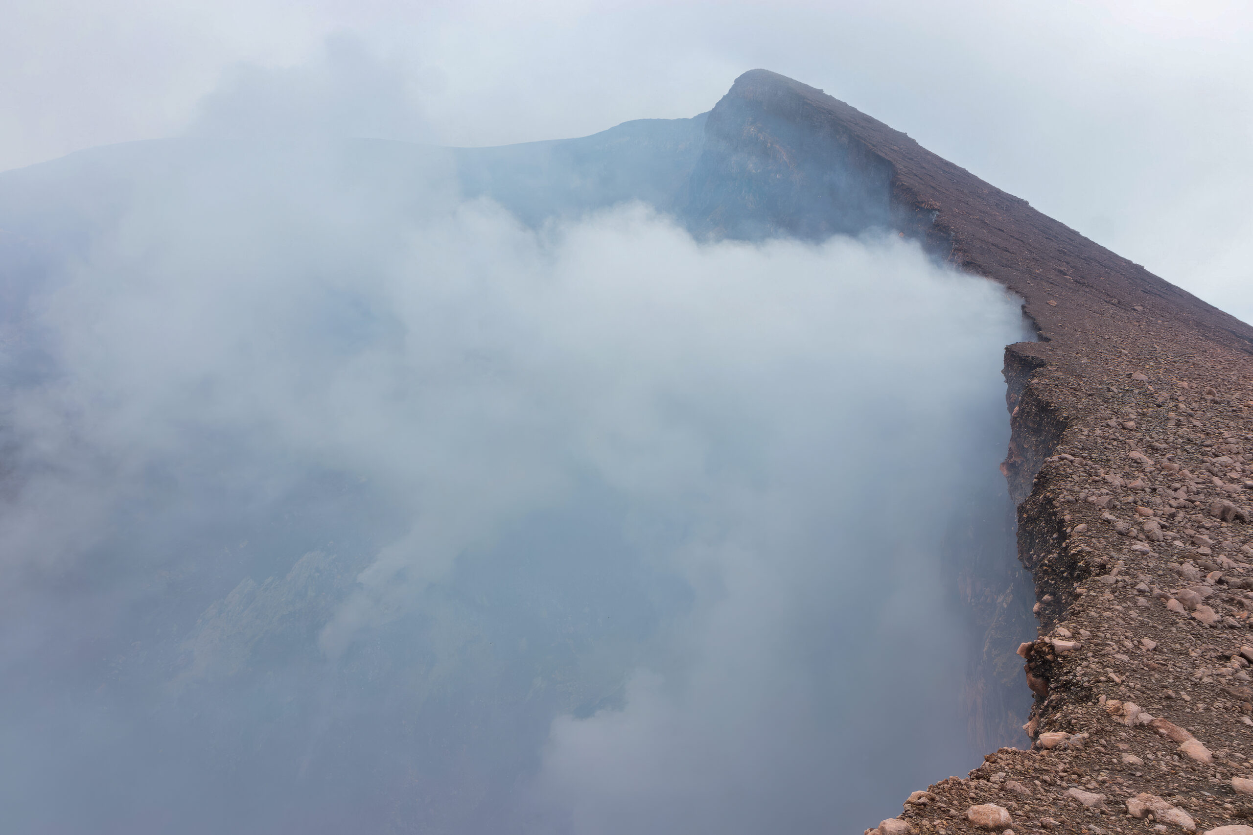
The climb to Telica Volcano is not difficult. The one-day trek leads through open countryside to a huge crater, from which sulfurous smoke rises and a dark rumbling echoes from the depths. You stand just a few meters from the edge, looking into the interior of one of Nicaragua's most active volcanoes.
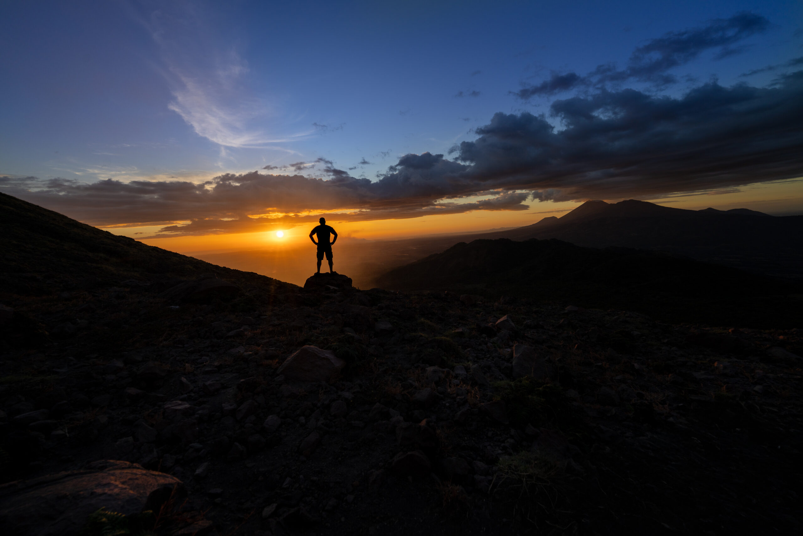
The volcano is located on the territory of a local Indian community, whose members collect entrance fees at the top. And since there is a small shop in the middle of the desolate volcanic landscape, they also sell cold beer. Just sit on the slope, open a can of cold beer and wait for the setting sun to bathe the surrounding hills and volcanoes in orange light.
How to get there?
You can go on a longer trek to Telica on your own, but it is easier and often more economical to go with one of the local agencies in León. They provide transport by off-road vehicle closer to the volcano, a guide, and return after sunset.
↑ Back to map
Volcano San Cristóbal
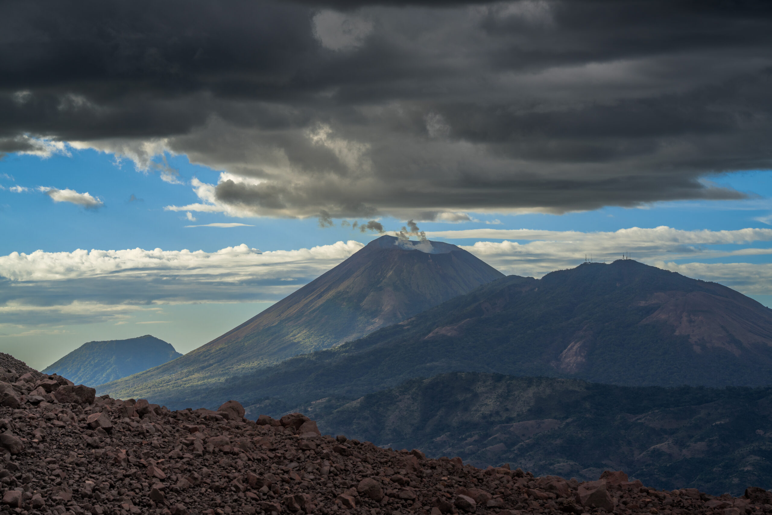
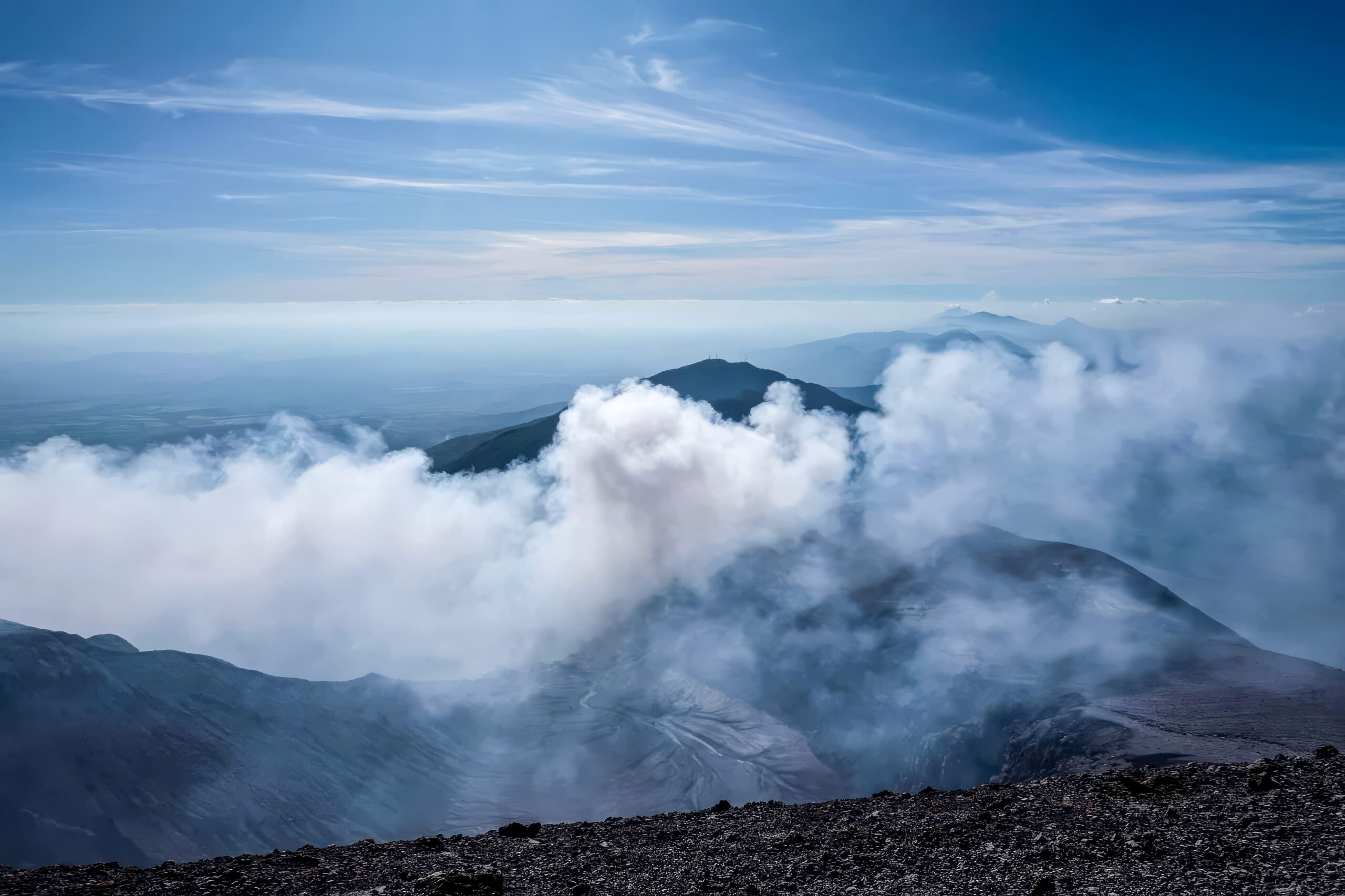
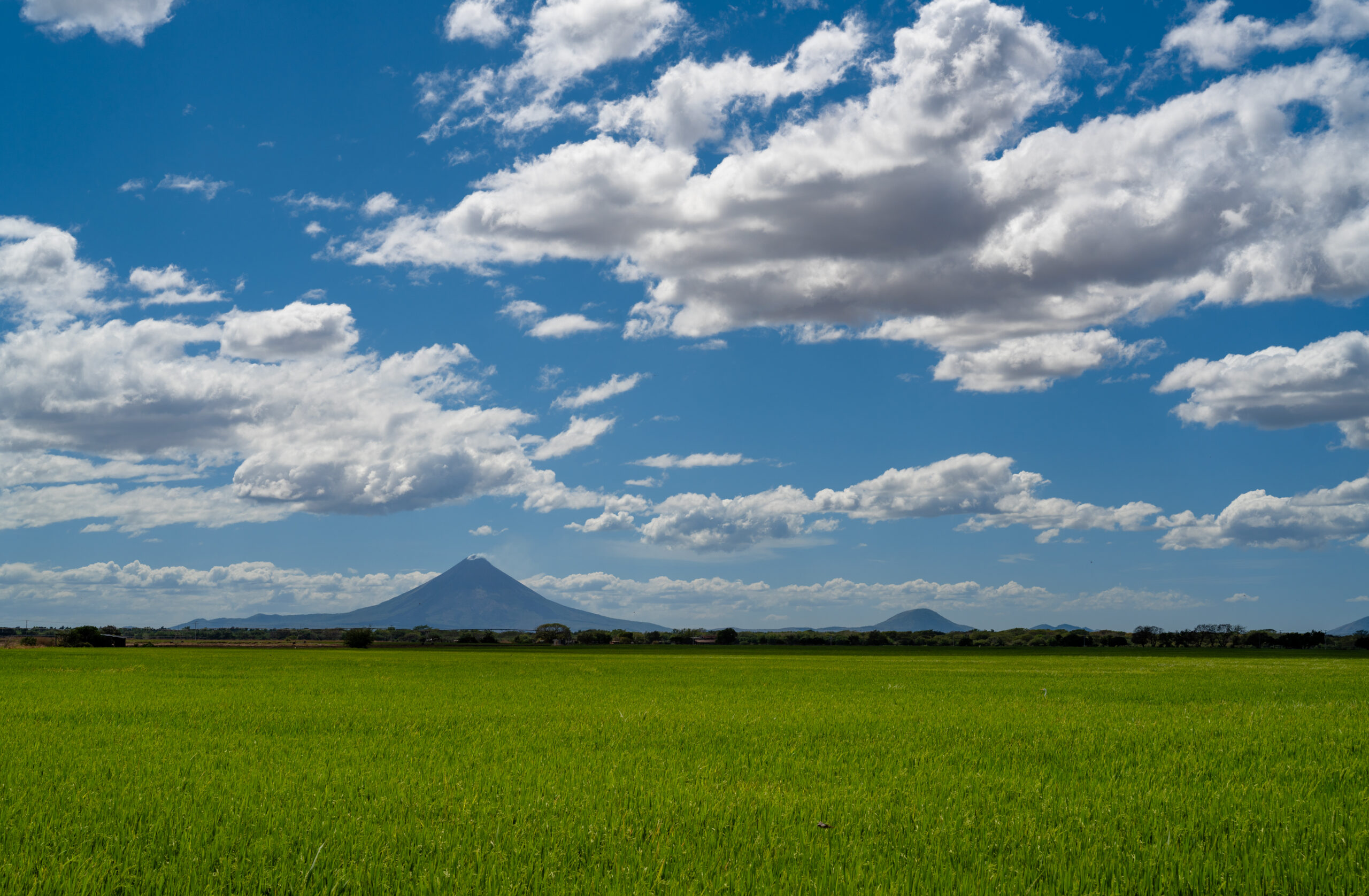
At 1,745 meters, San Cristóbal is the highest and one of the most active volcanoes in Nicaragua. From a distance, its almost perfect cone looked serene, but the climb itself was a completely different story. The journey to the top was one big attack on a steep and very slippery volcanic slope, covered in ash and loose debris. You take a few steps up and then you slide back down a bit. With no shade, in the heat and sulfurous air, it was a truly hellish journey in places.
But at the top, you quickly forget about the fatigue. A huge smoking crater opened up in front of us, and behind it, views of the entire chain of Nicaraguan volcanoes, the green plains of Chinandega, and the distant Pacific. This view made the whole hell worth it.
How to get there?
The climb is usually organized from Chinandega or León, from where an off-road vehicle will take you to one of the starting points below the volcano. The route is not well marked and San Cristóbal is still active, so it is wise to go with a local guide who knows the current conditions. Expect a full-day and physically demanding climb, starting early in the morning because of the heat later.
↑ Back to map
Matagalpa
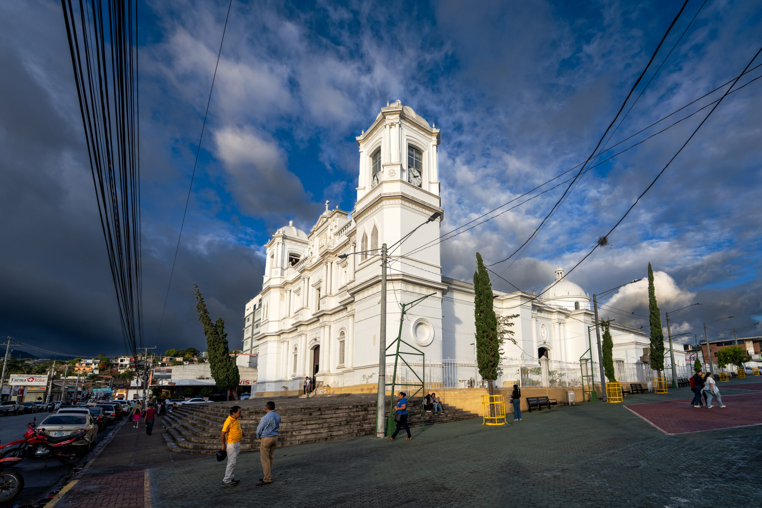
Matagalpa is located in the green mountains of northern Nicaragua and is one of the places where many foreign tourists do not go. Immediately after arriving, I was surprised by the air here. It smelled strangely of coffee, tobacco and cigars, which are inherent to this part of the country. The surrounding slopes are covered with coffee plantations and clouds often hang over the city, thanks to which the climate here is more pleasant than in the hot lowlands.
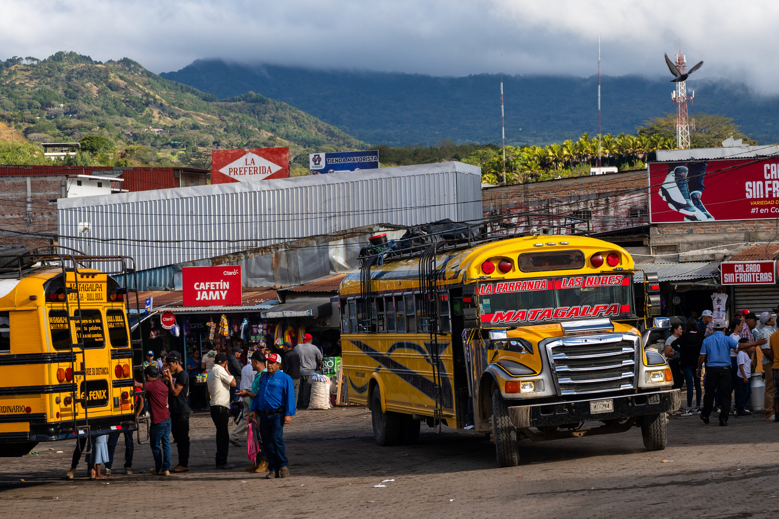
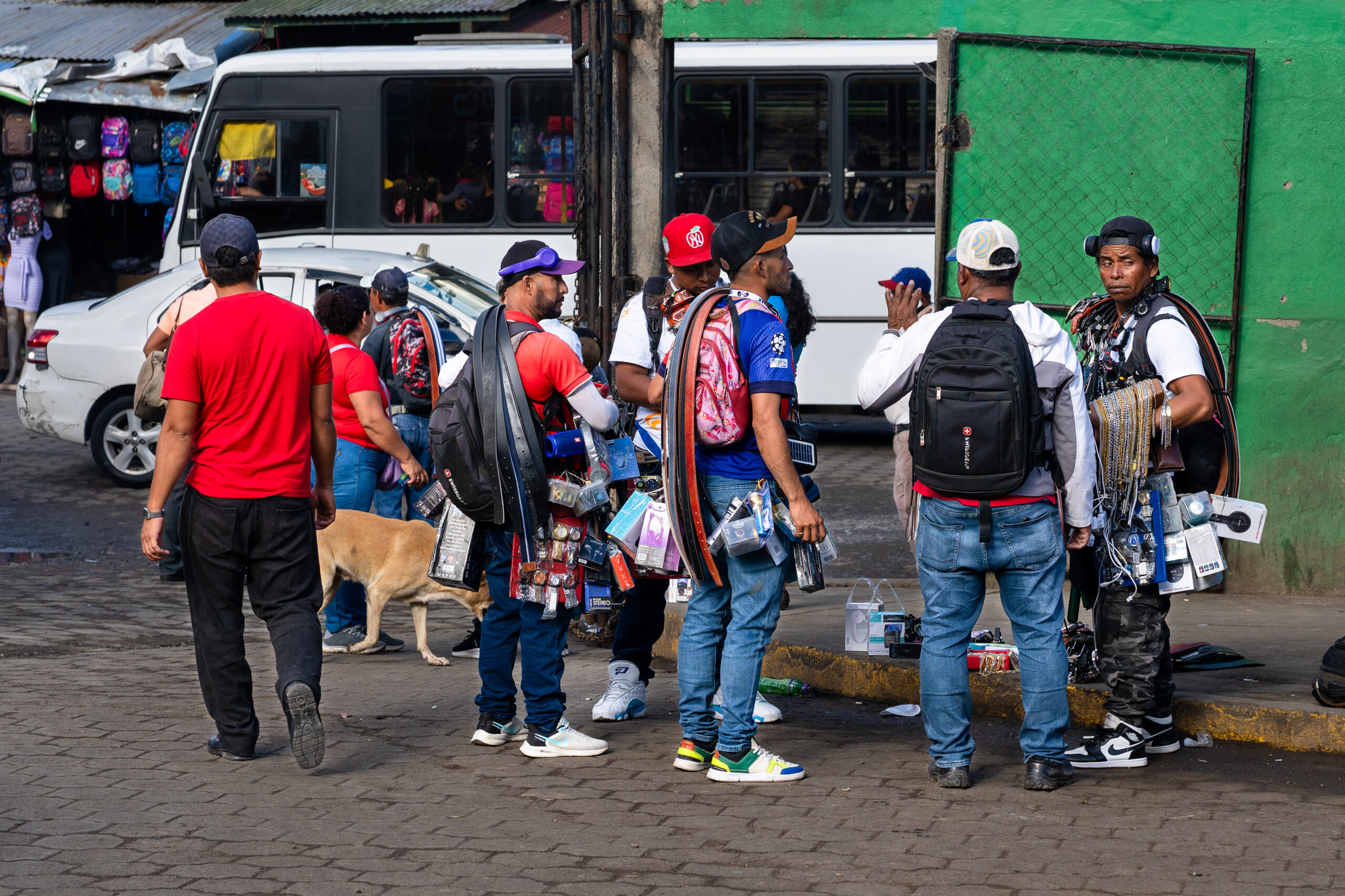
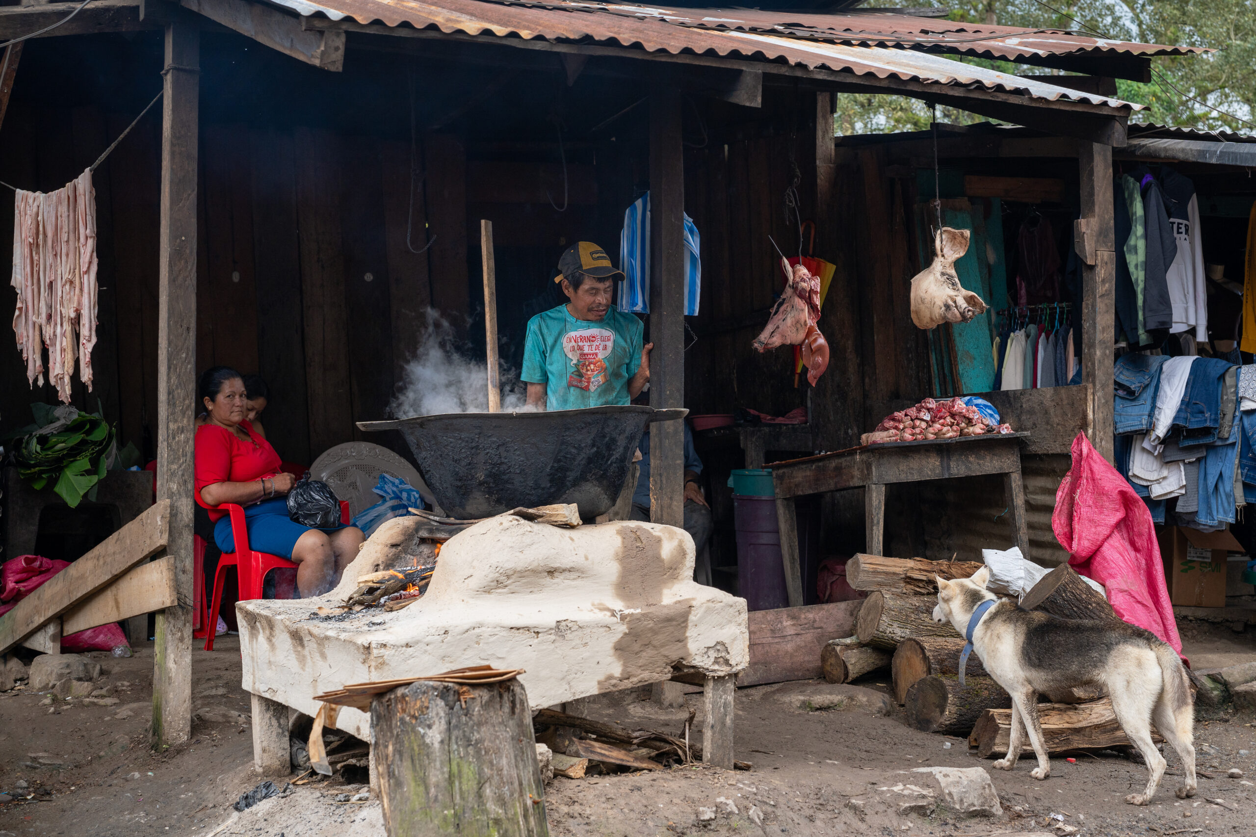
Walking through the city, I had the feeling that nothing was being embellished here. In the markets, cuts of meat were hanging right by the road, people, buses and goods were crowded between the stalls, and the daily bustle of the open workshops was heard. Matagalpa did not try to please. But that is precisely why I was able to get to know Nicaragua as it really is.
How to get there?
Direct chicken buses and faster express buses run to Matagalpa from the Mercado Mayoreo terminal in Managua. The journey takes approximately three hours. Connections also operate from León, Estelí and other cities in northern Nicaragua, sometimes with a transfer.
↑ Back to map
Peñas Blancas
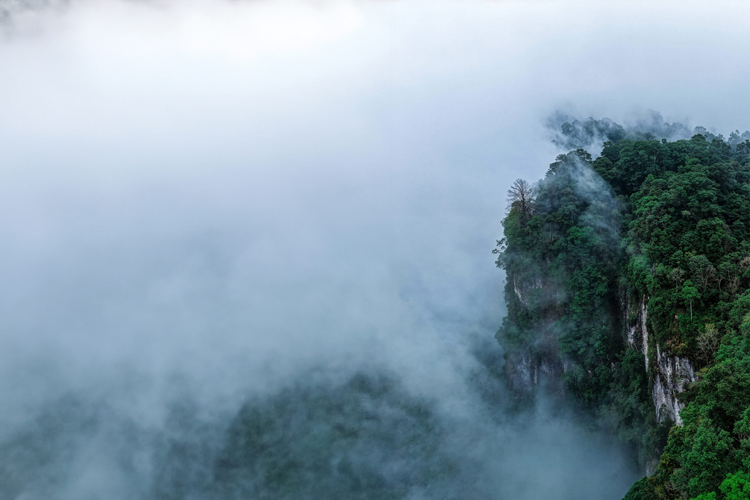
The Peñas Blancas massif was hidden in the clouds for most of the time. The white rock walls appeared for a moment above the green slopes and then disappeared again in the fog. Ferns, mosses and huge leaves soaked in water grew all around, between which narrow waterfalls fell from the mountains. After the hot lowlands of Nicaragua, I suddenly found myself in a cold and humid world, where almost everything dripped, rustled and smelled like a rainforest.
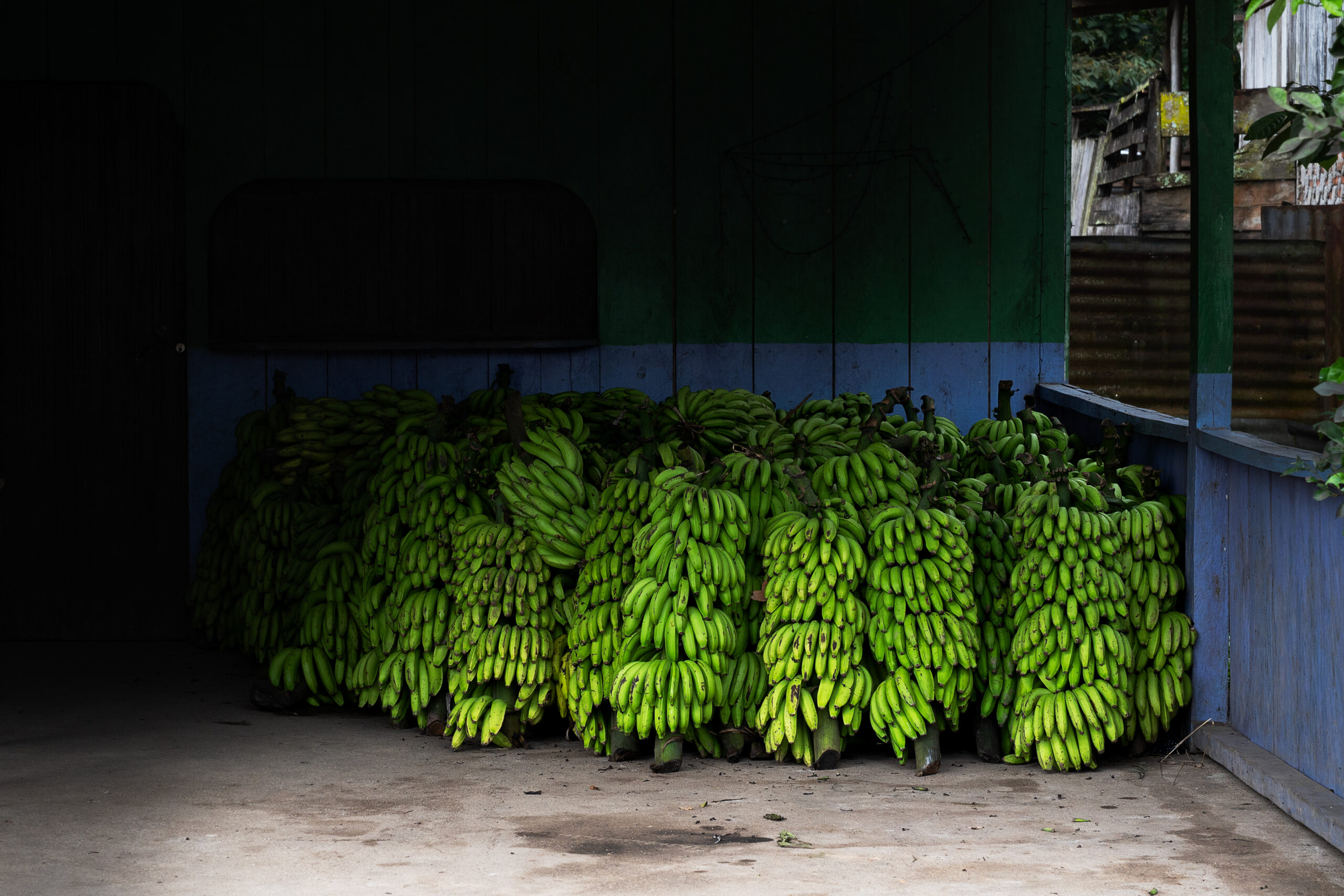
At the foot of the mountains, small villages alternated with coffee and banana plantations, mainly bananas for cooking. The people here live mainly from what they grow on the steep slopes, and the coffee from Peñas Blancas is among the best you can taste in Nicaragua. Tourists come here at a minimum, and in the evening the entire valley is plunged into darkness and silence, from which only the rain, insects and distant voices from the surrounding farms can be heard.
How to get there?
From the Guanuca bus station in Matagalpa, take a chicken bus towards El Cuá or Bocay and get off at the Empalme La Manzana intersection. The journey takes approximately three hours and the last few hundred meters are on foot to the community of Peñas Blancas. Check the return bus times on site, as the last buses leave in the afternoon.
↑ Back to map
Los Zorros
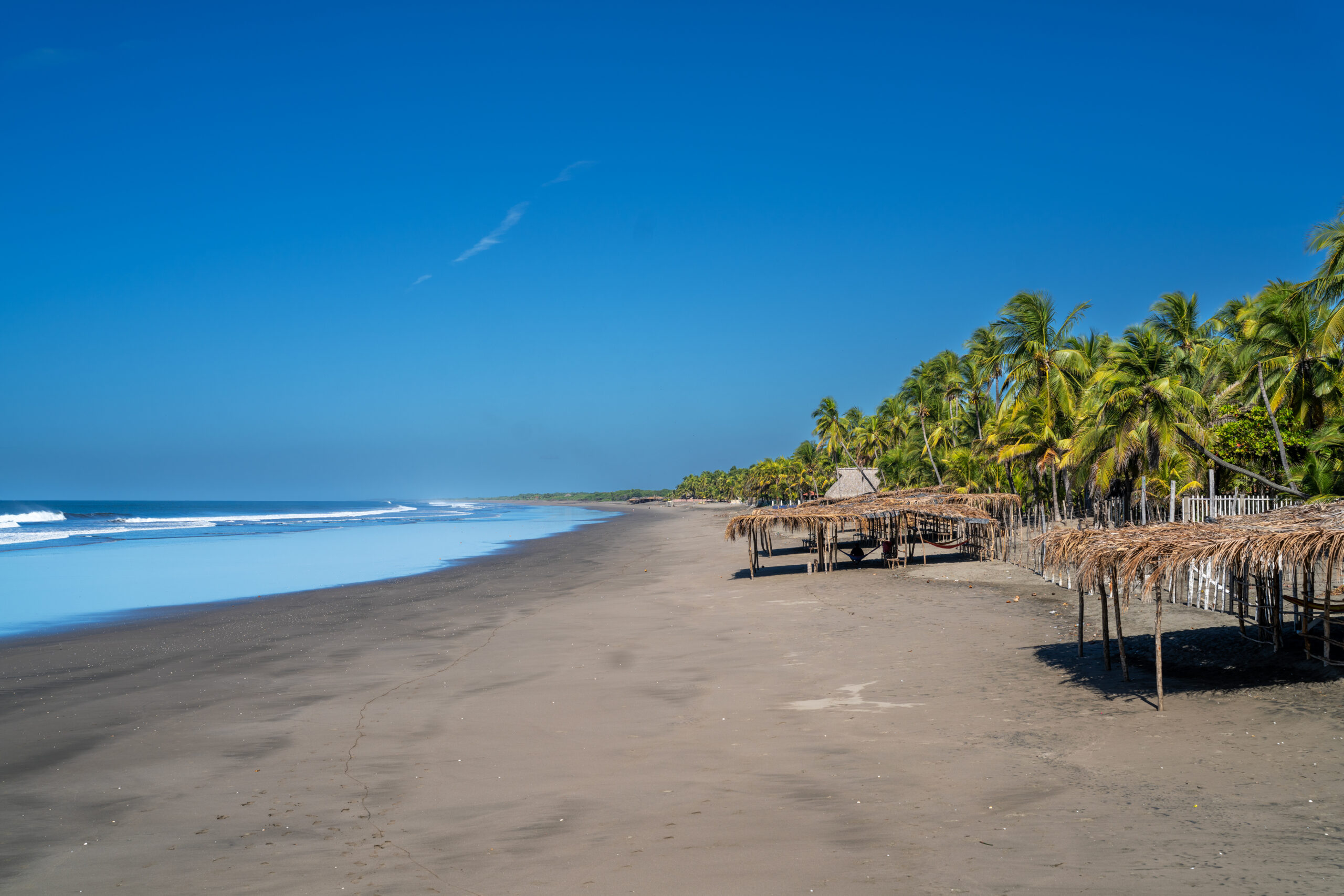
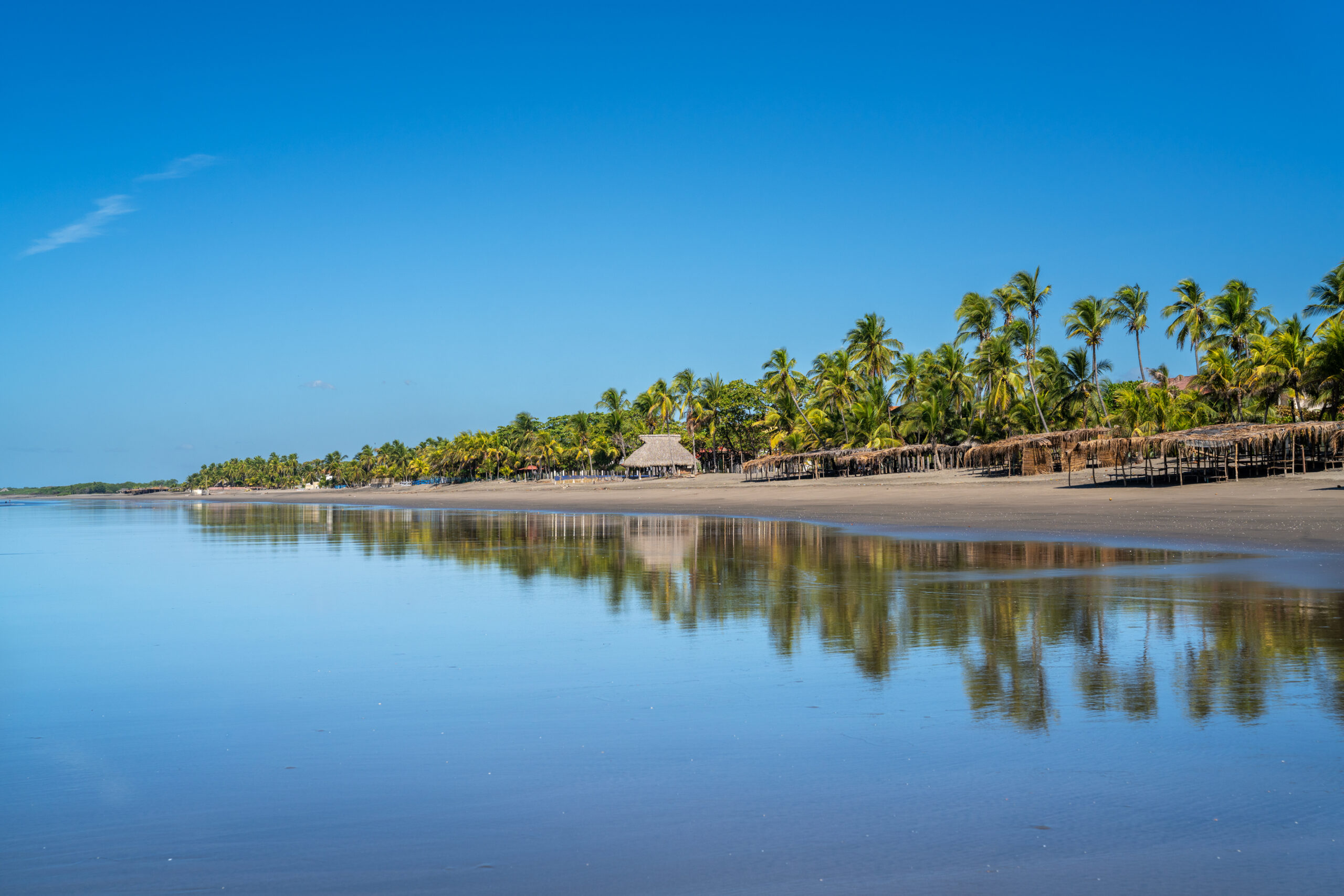
Los Zorros is a long stretch of dark sand on the northern coast of Nicaragua that most foreign tourists never get to. There are already a few small resorts and simple restaurants along the beach, but their guests are mainly local families. As I walked along the coast, the roar of the Pacific almost drowned out everything else. It was hot, empty and raw, a completely different world from the famous resorts in the south of the country.
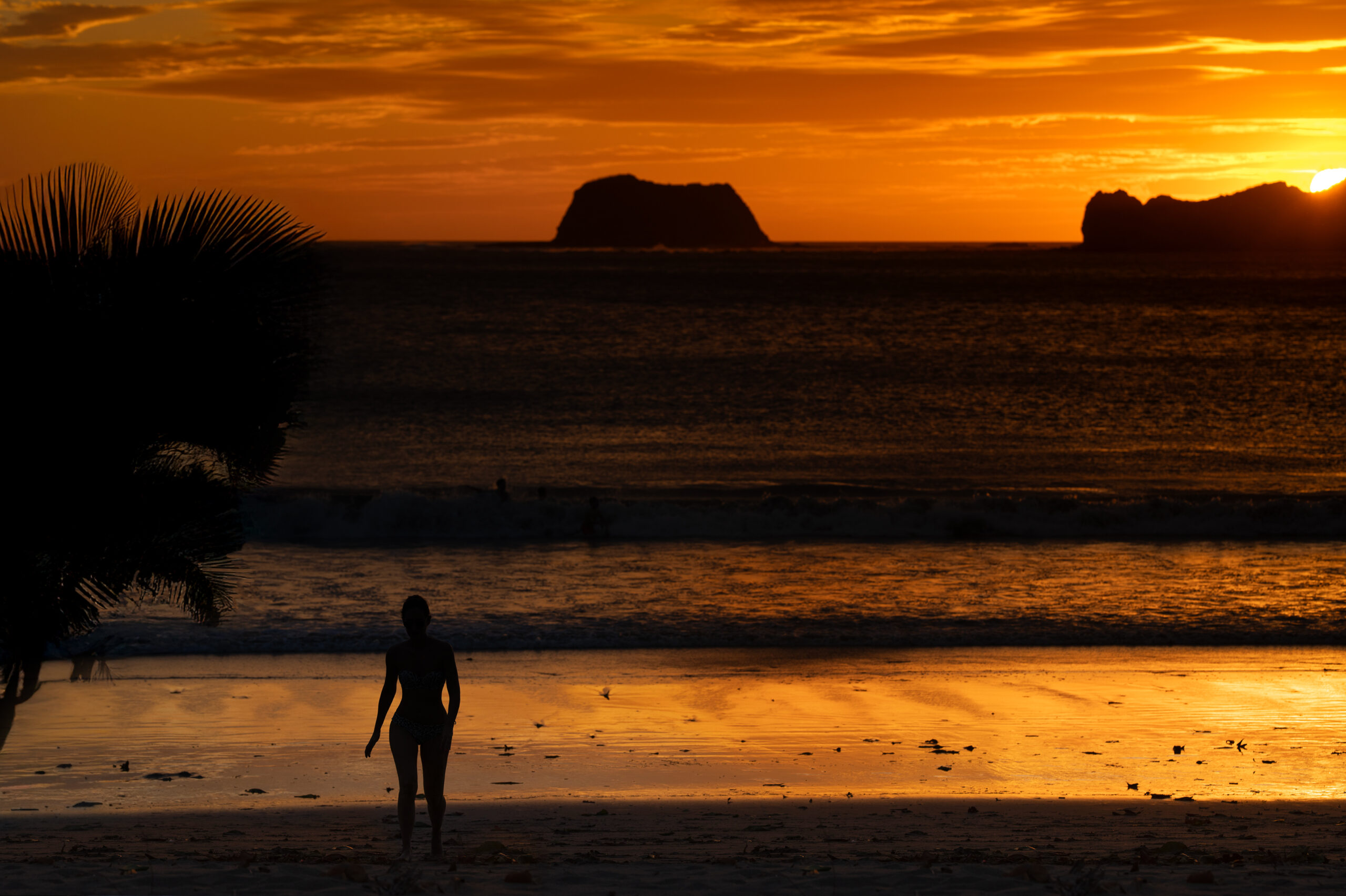
Nearby, the ocean meets the mangroves of the Estero Padre Ramos reserve. On one side, the waves crash, on the other, the water, filled with birds, crabs and fishing boats, spills almost motionlessly between the roots of the mangroves. The best time comes in the evening, when the sun slowly sinks into the Pacific and the wide beach is almost empty.
How to get there?
From Chinandega, take a chicken bus to El Viejo and from there take a local bus or collectivo to Jiquilillo. Los Zorros is further north along the coast and the last part of the journey is easiest to do by taxi, local shuttle or walking along the beach. Check return times in advance as transport in this area ends quite early. ↑ Back to map
Ometepe
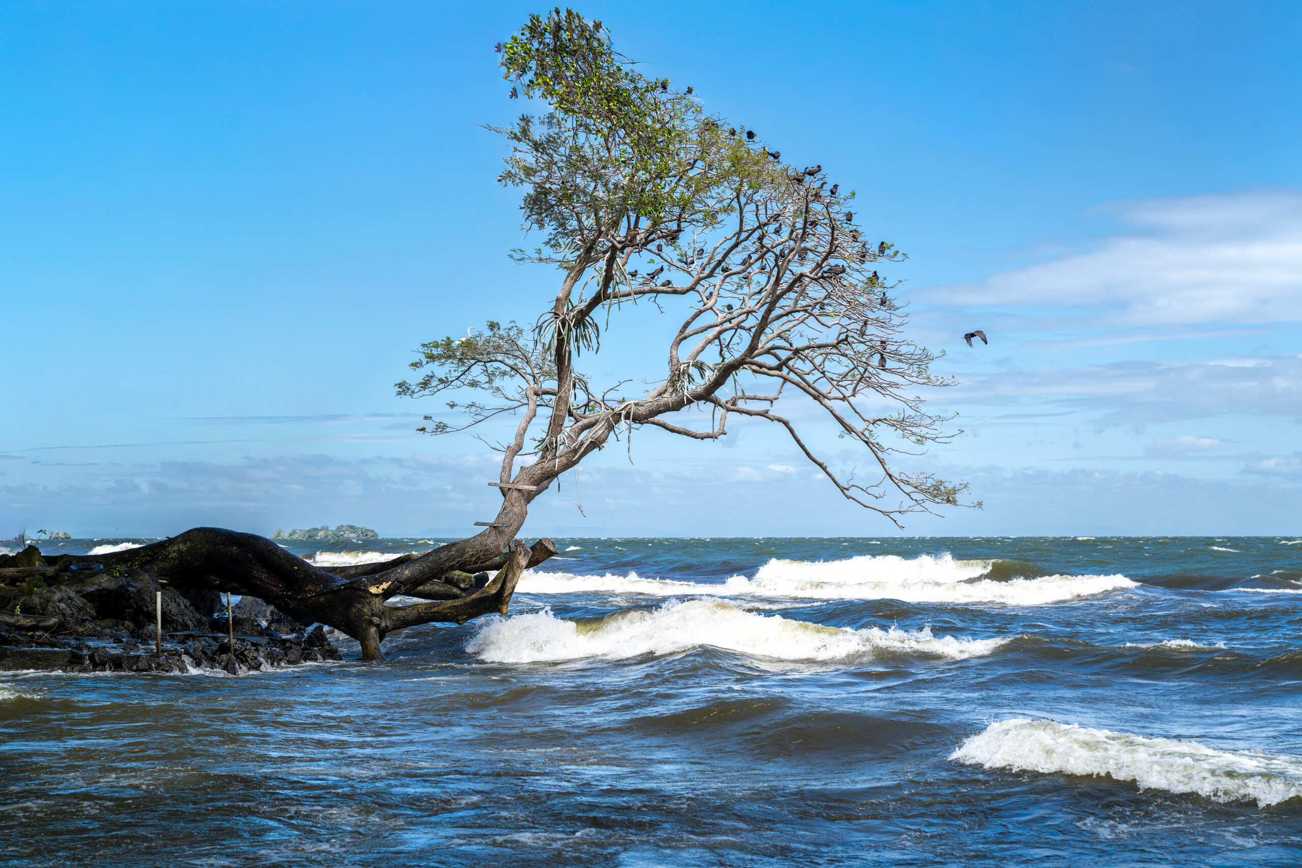
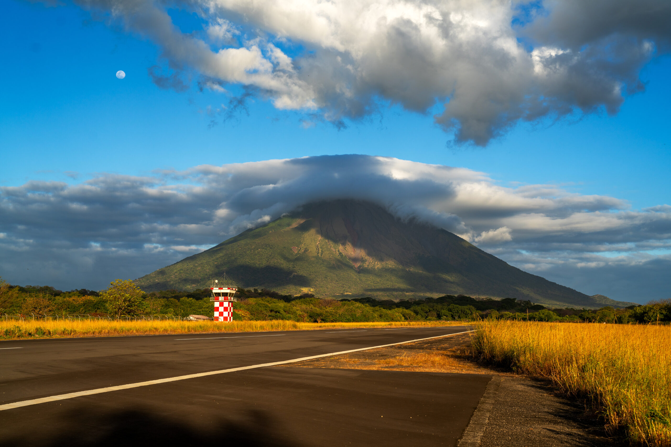
Ometepe appears above the surface of Lake Nicaragua long before the ferry arrives at the port. On one side rises the almost perfectly regular cone of the active volcano Concepción, on the other the green Maderas, whose peak is hidden in the clouds most of the time. Two completely different volcanoes connected by a narrow strip of land have created an island that already seems a bit surreal upon arrival.
While hiking Ometepe, I had both volcanoes almost in front of my eyes. One of my top experiences in Nicaragua was supposed to be climbing Concepción. But nature had a different opinion. The steep hike was great, but I climbed most of the time in thick fog, so in the end it was more about the journey itself than the views. Even so, the climb had its charm, and I felt the power of the volcano even more intensely in the fog.
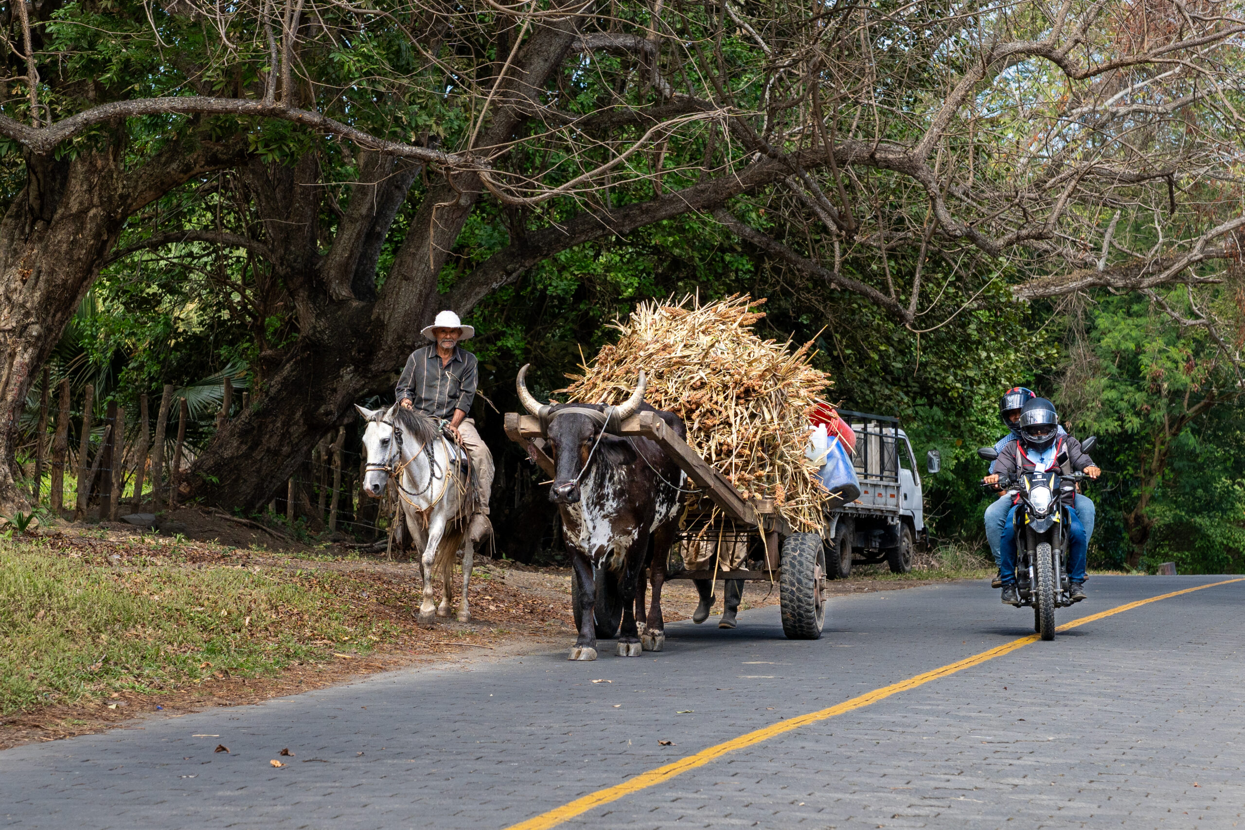
Although the island has long been discovered by tourists, it still maintains a slow, rural rhythm outside the main areas. In the evening, just walk to the lake and watch the sun disappear behind the water and the two volcanoes gradually disappear into the darkness.
How to get there?/h4>
From Rivas, take a bus or taxi to the port of San Jorge. From here, ferries and smaller boats leave several times a day for Moyogalpa and San José del Sur, the journey takes about an hour. You can get around the island by chicken bus, taxi or by renting a motorbike or scooter.
↑ Back to map
Granada
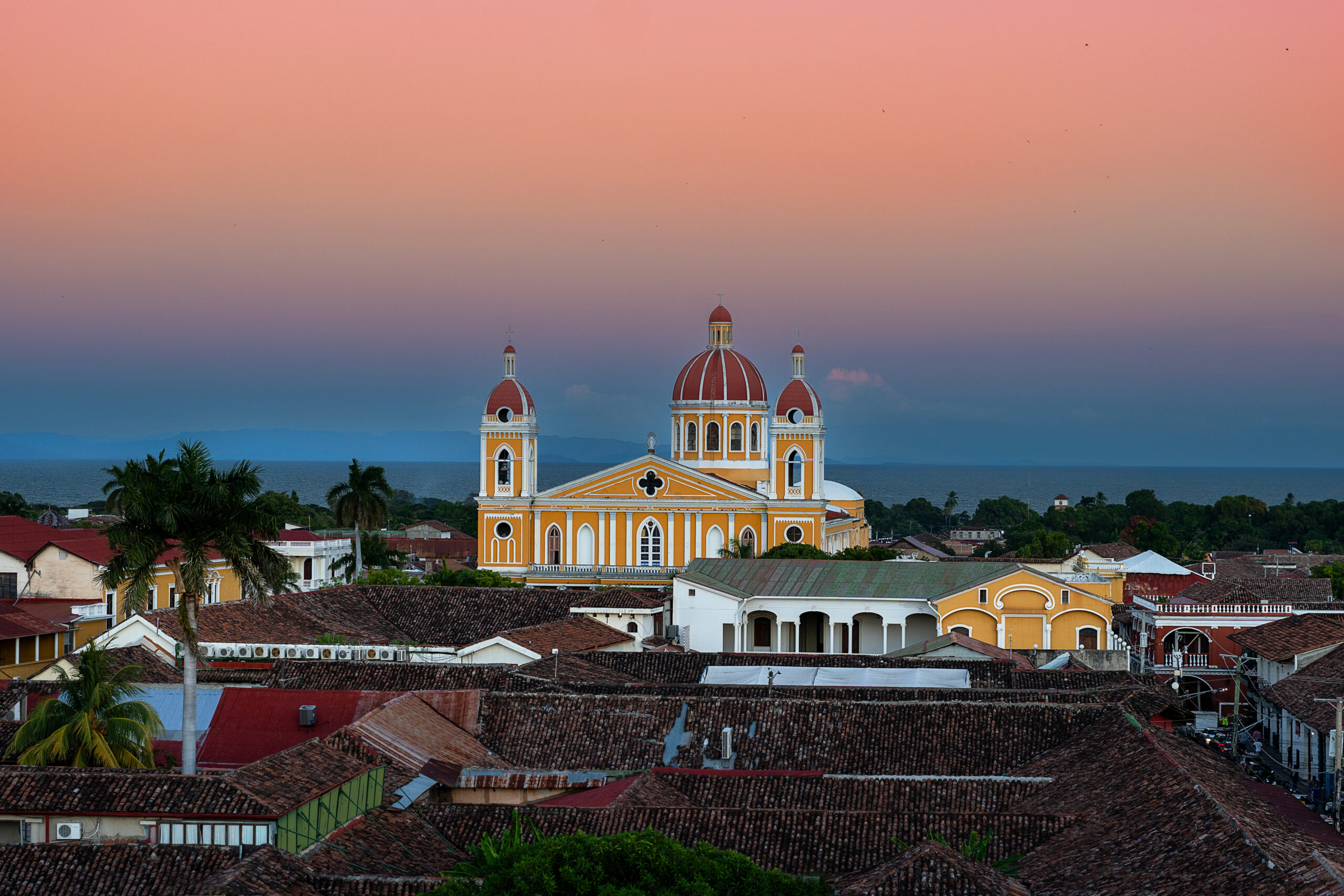
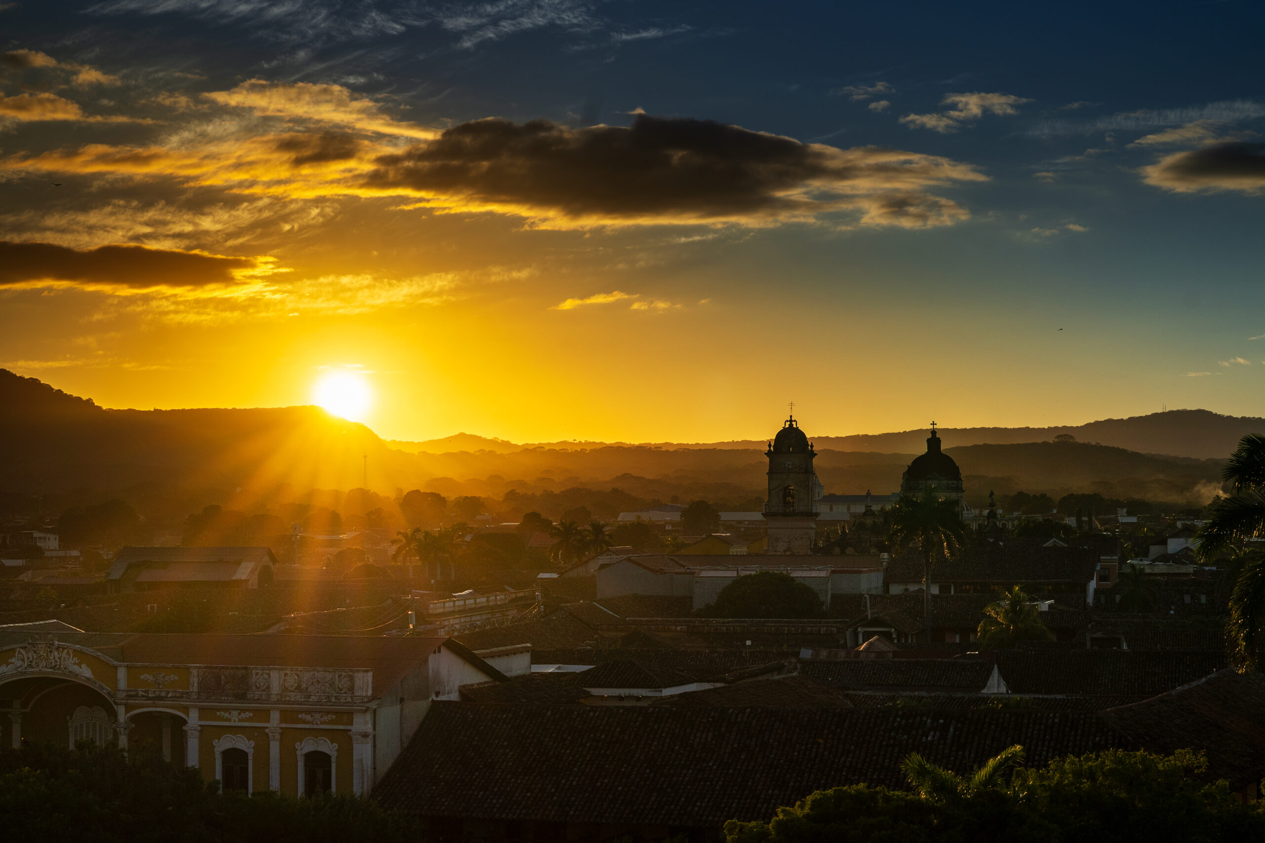
Granada is one of the oldest and most beautiful cities in Central America. The colorful facades, cobblestone streets, and historic churches create an atmosphere that I could walk around for hours without a specific destination. The cathedral in the main square dominates, but once you get off the touristy streets, the city quickly reveals a different face.
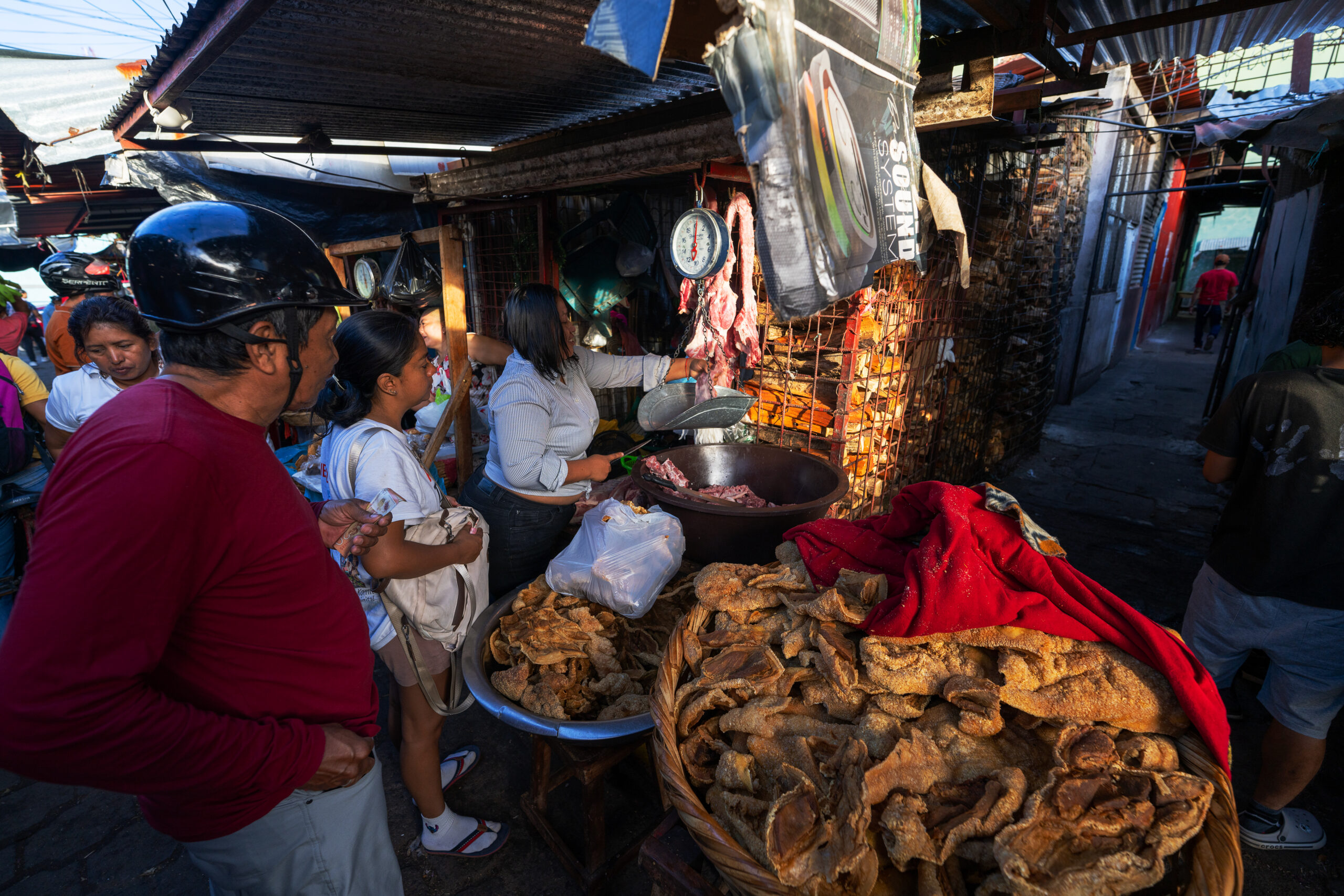
I enjoyed the huge local market the most, where people, carts and buses crowded between the stalls with fruit, meat, clothes and everything necessary. In the afternoon I looked from the tower of the La Merced church over the red roofs to the Mombacho volcano. Just a short distance from the city lie hundreds of Isletas, between which you can sail by boat past fishermen, waterfowl and houses hidden in tropical vegetation.
How to get there?
From Managua, direct minibuses run to Granada from the Casimiro Sotelo terminal, formerly known as UCA, and the journey takes approximately one and a half hours. Regular bus services also operate from Masaya and Rivas. Boats depart for the Isletas from a pier on the lake a few kilometres from the centre of Granada.
↑ Back to map
León
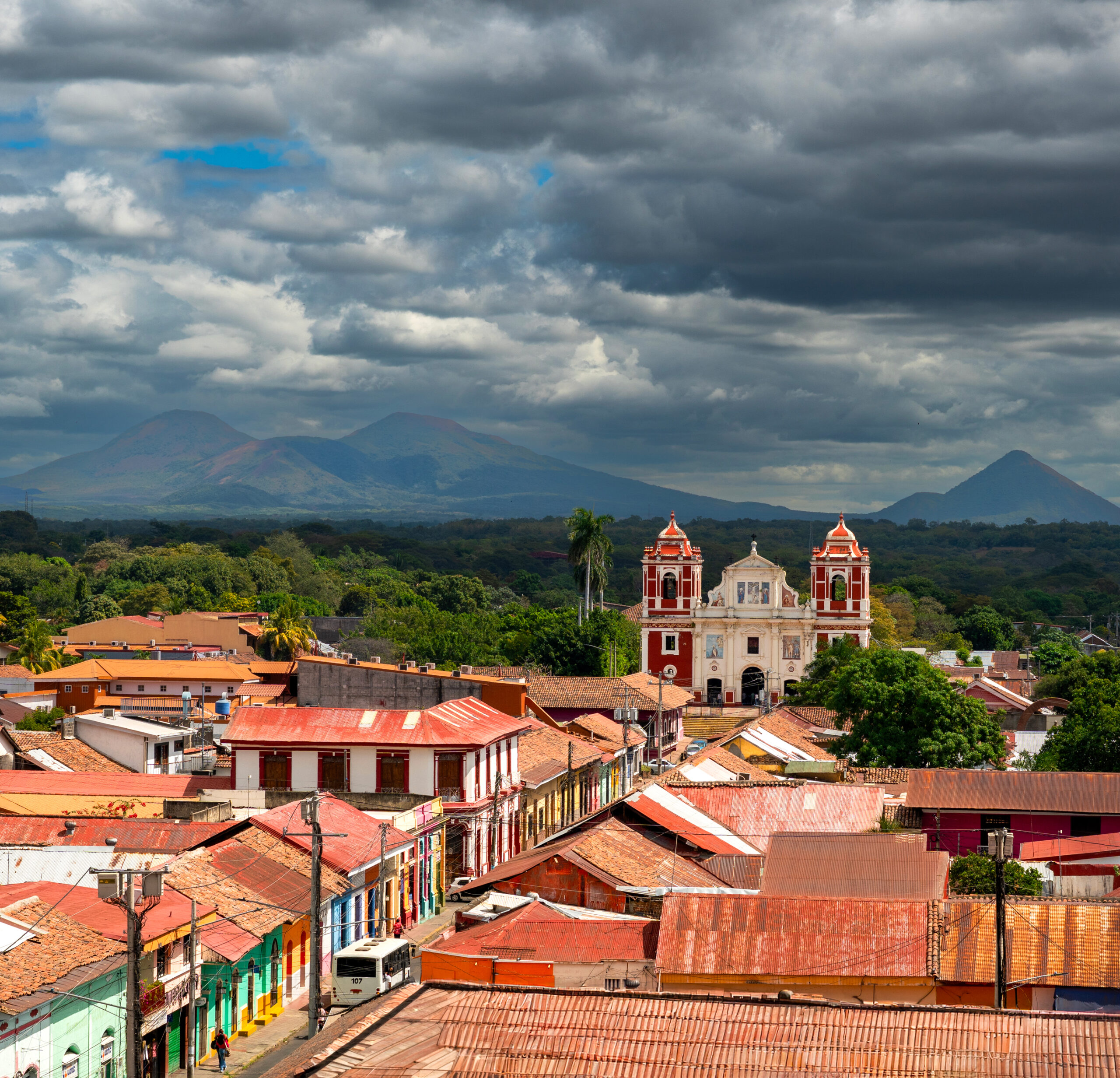
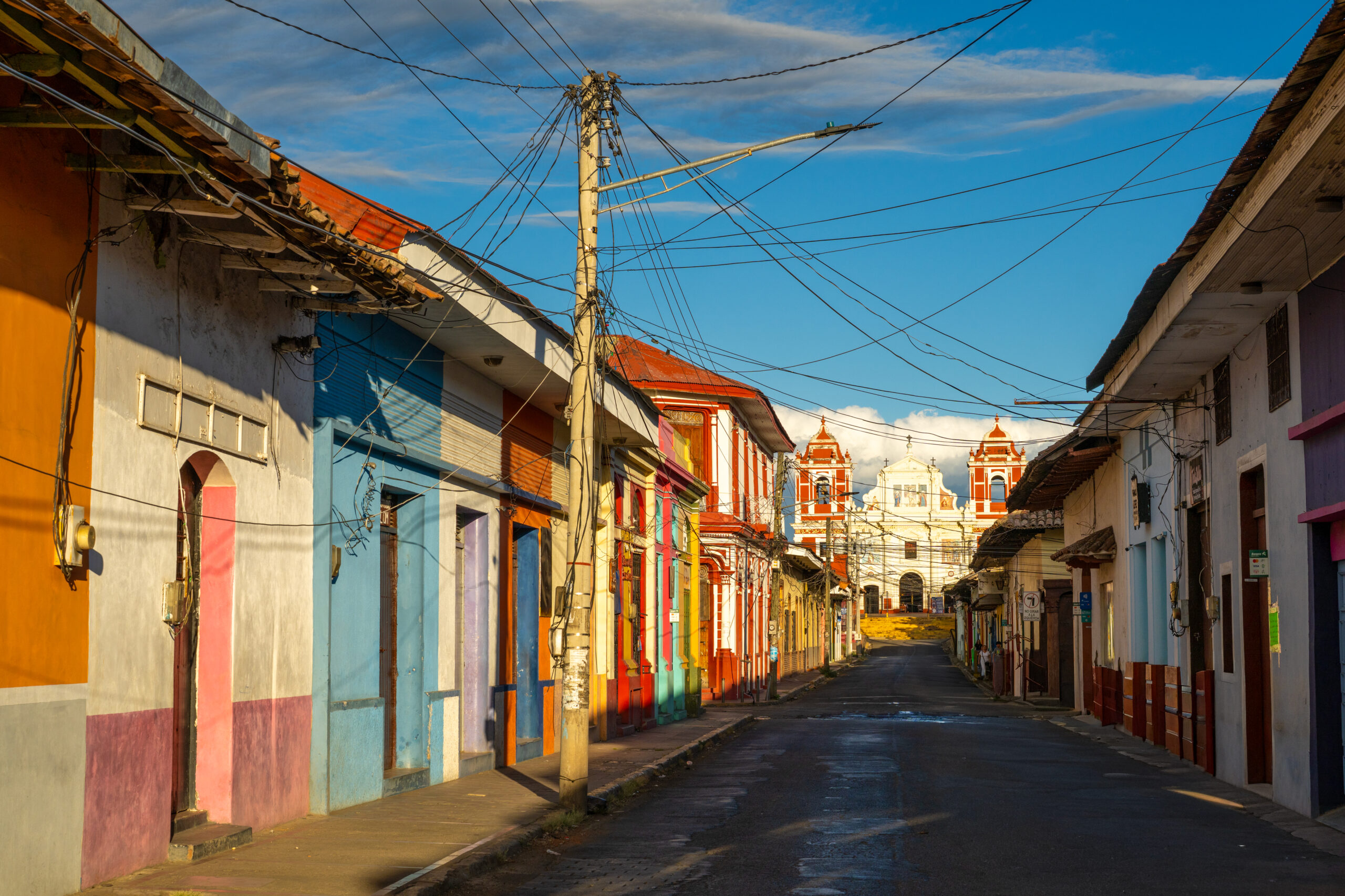
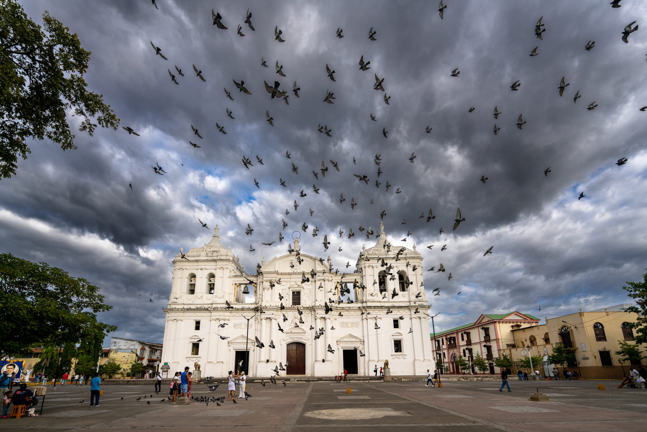
León seems more raw and restless than the more polished Granada. A massive white cathedral rises above the colorful streets, from whose roof I had a view of the city and the surrounding chain of volcanoes. The revolution is still present here in murals, monuments, bullet holes and stories of former Sandinista fighters. But damn the revolution. León is different mainly in terms of people. It is a bit messy, noisy and imperfect, but that is what makes it its own. Of all the Nicaraguan cities, it probably had the strongest genius loci for me.
León was originally located in a completely different place. The first city was founded by the Spanish in 1524 on the shores of Lake Managua, directly under the Momotombo volcano. After a series of eruptions and a devastating earthquake, the inhabitants abandoned it in 1610 and moved to its current location.
How to get there?
From Managua, there are direct minibuses from the Casimiro Sotelo terminal to León and cheaper chicken buses from the Israel Lewites terminal, the journey takes approximately two hours. To León Viejo, continue by bus to La Paz Centro and from there by local bus or taxi towards Puerto Momotombo.
↑ Back to map
Volcano Masaya
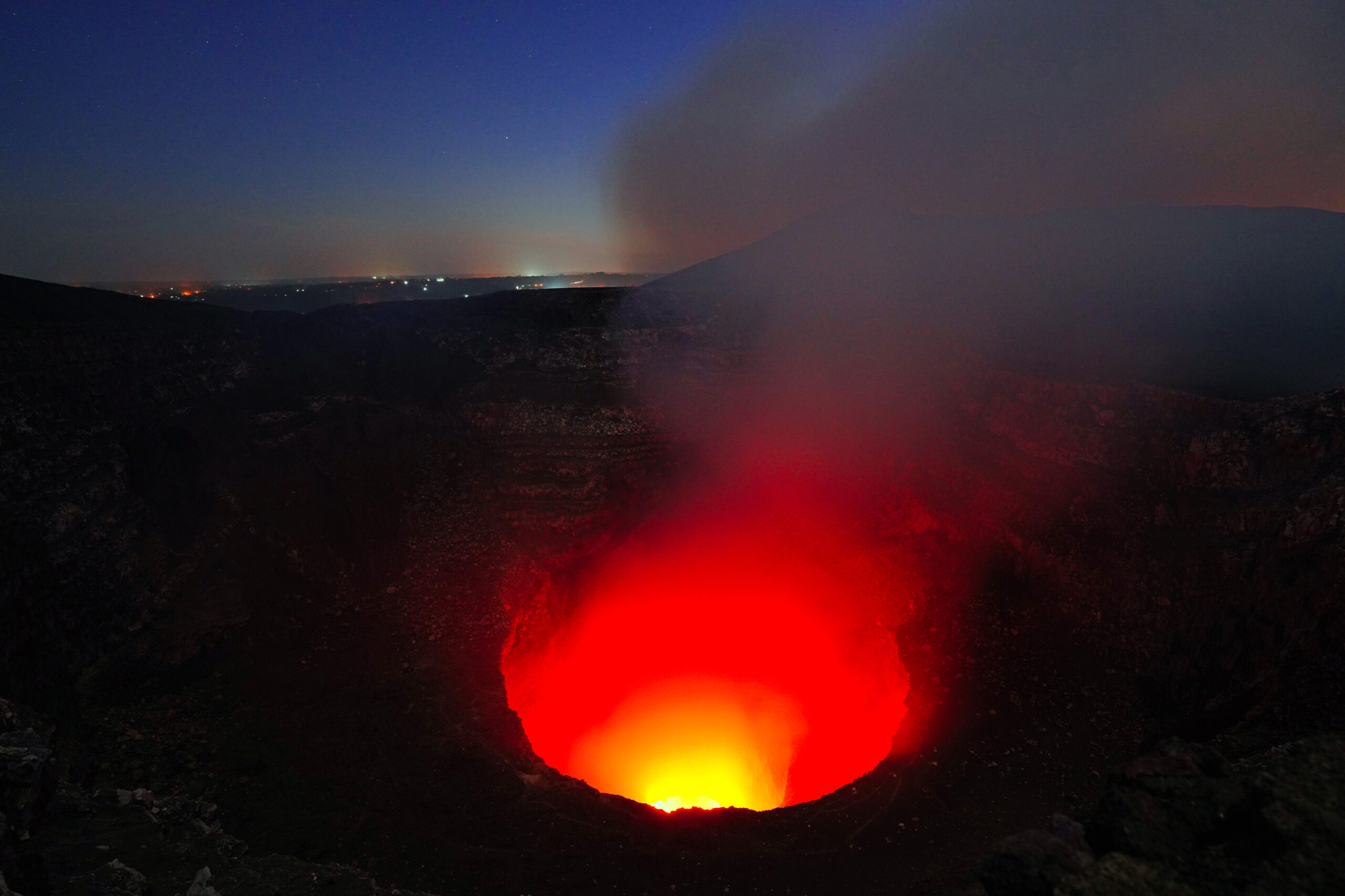
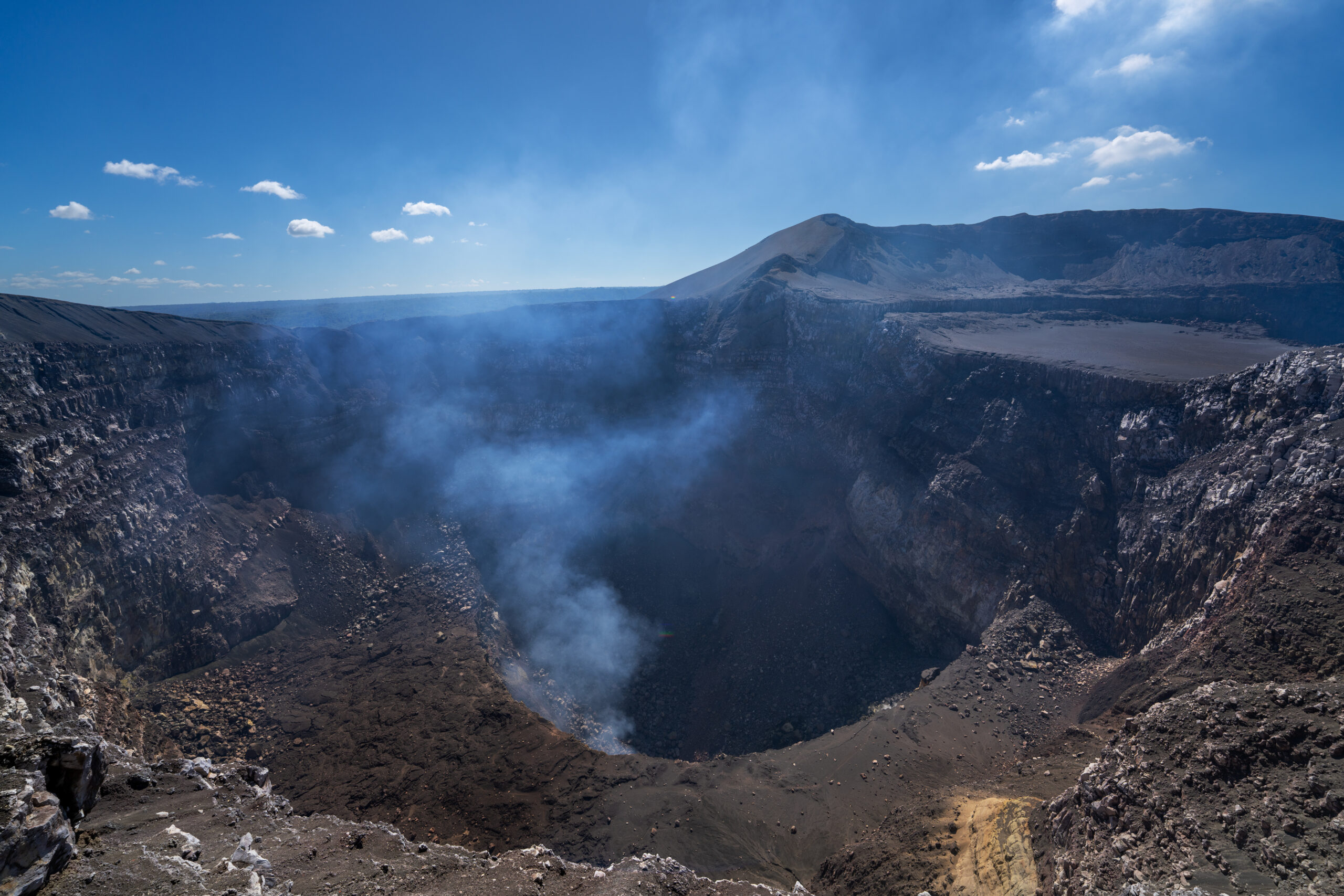
Masaya doesn't look like a classic volcano that you have to climb for hours. I drove almost to the edge and after exiting, a huge hellish hole in the ground opened up in front of me. Smoke was rising from the Santiago crater, the air smelled of sulfur, and deep below me, lava was glowing and moving. I just stood on the edge and watched in disbelief what was happening inside the earth.
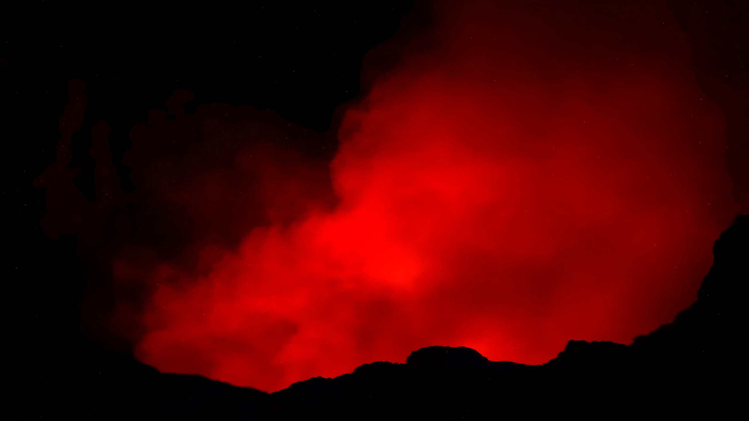
The natives considered the crater a gateway to the underworld, and the Spanish conquistadors called it La Boca del Infierno, the Mouth of Hell. As I watched the red glow illuminating the smoke rising from the depths after dark, I was not surprised at all. This place truly felt like an open gateway to hell.
How to get there?
The Masaya national park is located on the main road between Managua and the city of Masaya. You can take a bus to the park exit, but it is still a few kilometers from the crater entrance, so it is easier to use a taxi, your own car or an organized tour. Access to the crater and evening visits vary depending on the current volcanic activity, so check the park opening times in advance.
↑ Back to map
Views: 0
